


New 3D-modelling tool goes underground to locate design risk
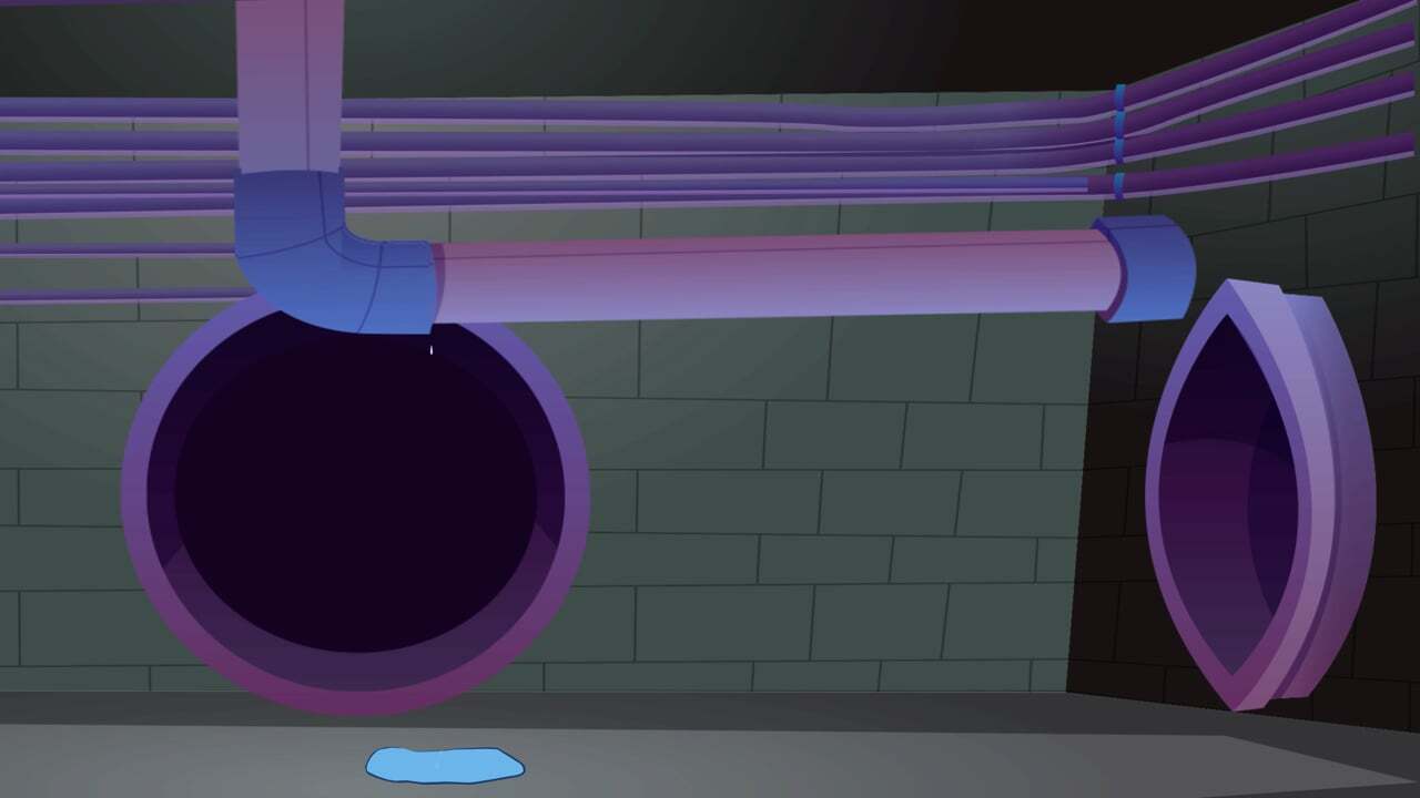
It’s often suggested that water service provision is invisible – with much of the sector’s product and assets hidden away in pipes underground.
But one leading consultancy has stepped in to bring a new era of transparency to what’s going on below, making design decision-making easier by bringing high-visibility to potential risks.
Aurecon won gold at the 2022 Melbourne Design Awards for its new 3D modelling tool, Inground, a utilities management service that makes it easier for strategic planners and infrastructure designers to understand underground constraints early in the design process.
Inground aims to reduce risk by clearly representing and communicating project tolerances, reduces model generation time and facilitates best-practice information management on large projects.
Aurecon Managing Principal, Digital, Dave Mackenzie said the motivation to develop Inground came directly from the problems the company’s clients were facing when it came to preparing for new or augmented infrastructure works.
“At Aurecon, we've been on a digital journey for a while now – we’ve developed a robust innovation mindset and process. And our products generally bubble up in response to the burning needs of our delivery teams,” he said.
“And the first thing we do when we build something is check what's in the ground. This is an initial concern for all designers and engineers, regardless of what sector they are from.”
Mackenzie said that, while figuring out what’s underground has been a long-standing issue, what seems to be a simple question starts to become very complicated.
“Is the pipe that was put down 50 years ago still in the same position, exactly, or has it moved or been damaged? Which direction has it moved, and why? And what does that mean for the substrate surrounding the asset?” he said.
“In order to reduce risk as much as possible, we need to bring in the best information we have to get the clearest possible picture of what’s going on down there.
“Inground provides a way to bring all the information we have about assets together into one environment to create a kind of digital twin of inground assets, one that accurately depicts what’s going on under the surface.”
Twinning down
Having a digital twin of underground assets offers up the ability to automatically generate geometry, Mackenzie said, which in turn helps de-risk – and speed up – decision-making around the design and development of works.
“Digital twinning has been around for a while now. And there are certainly similar kinds of experiments or pilots taking place in terms of utilising 3D modelling to bring more transparency to assets,” he said.
“With Inground, the big difference is its focus on helping water utilities solve a problem that requires bringing together lots of data and information in a way that really tightens up that iteration cycle in the design phase.”
Mackenzie said organisations are sometimes led by technology, but it should really be the other way around.
“We really want organisations to be leading the way in terms of what they want to be achieving, with the technology supporting and enabling where the organisation wants to go,” he said.
“And that’s what's great about Inground – it has developed out of a real problem, and a problem that many different utilities come up against, again and again.
“Our aim has been to insert the necessary technology to help alleviate this recurring issue. I think that's why it's getting a lot of traction.”
Assets in sight
Mackenzie said Inground automatically generates 3D models of underground assets from standardised, interoperable datasets, collating as much information as is available to produce the most accurate representation.
“Inground ingests 2D data and combines it with existing 3D surface models. The information we use to generate the models comes from everywhere – we input all the publicly available information possible, including project information,” he said.
“As we bring that information together, it enables us to then generate really robust models. We end up with a really crisp, 3D representation that provides a visual indicator of where risk is located – including areas that need to be avoided to prevent damage to critical assets.”
Mackenzie said this is incredibly important information for designers who are putting together plans for new infrastructure, but anyone who has a vested interest in understanding what’s going on with assets underground could use this tool, too.
“It's also unique in that we're bringing in information from everywhere to create a really holistic view of what’s in the ground,” he said.
“While Inground is very much focused on supporting better decision-making, and better design and engineering, there is a lot of potential for the tool that goes well beyond this initial phase.”
Scratching the surface
Despite the recent recognition for Inground, Mackenzie said the most exciting thing about the new service is all the potential avenues for digitisation that can be explored moving forward.
“We are only just scratching the surface in terms of what we might be able to achieve in future. The more information we can bring into our modelling, the more ways we are able to engage with and develop Inground’s application,” he said.
“We’re using a data set brought together for decision-making and de-risking design, but there’s the opportunity to add more information into its application so that it can be utilised in various ways onsite, as well.”
While those downstream opportunities are quite exciting, Mackenzie said it’s still early days – but he is looking forward to seeing how the technology develops.
“For now, Inground has a very defined problem to address. But as you create the data set and turn it into really good information, there’s a whole raft of opportunities that can surface in terms of where the technology can go,” he said.
“I'd love to see a water utility pick up the tool and be able to put on a headset on its employee and get an instant VR view of what's in the ground. That’s the future for this technology.
“Once we’ve got more consistent information and data, and our models continue to get bigger and bigger, there'll be loads of opportunities to explore and test totally new ways of working.”
But before the future arrives, Mackenzie said Inground’s initial success is a real achievement, and that Aurecon is looking forward to sharing the application beyond its own projects.
“Inground started with a problem that turned into an innovative idea, which was then supported and accelerated through our computational design team in the business. What’s really exciting for me is that there are these complex problems out there, and Aurecon has the systems and support teams in place to find solutions very quickly,” he said.
“I’m biased, of course. But being able to meet this ongoing challenge for so many of our clients has been a real achievement. We are now in a position where we can start thinking about how we take it to market more broadly, beyond our client projects.”
