World’s largest freshwater citizen science project set to tap into groundwater quality
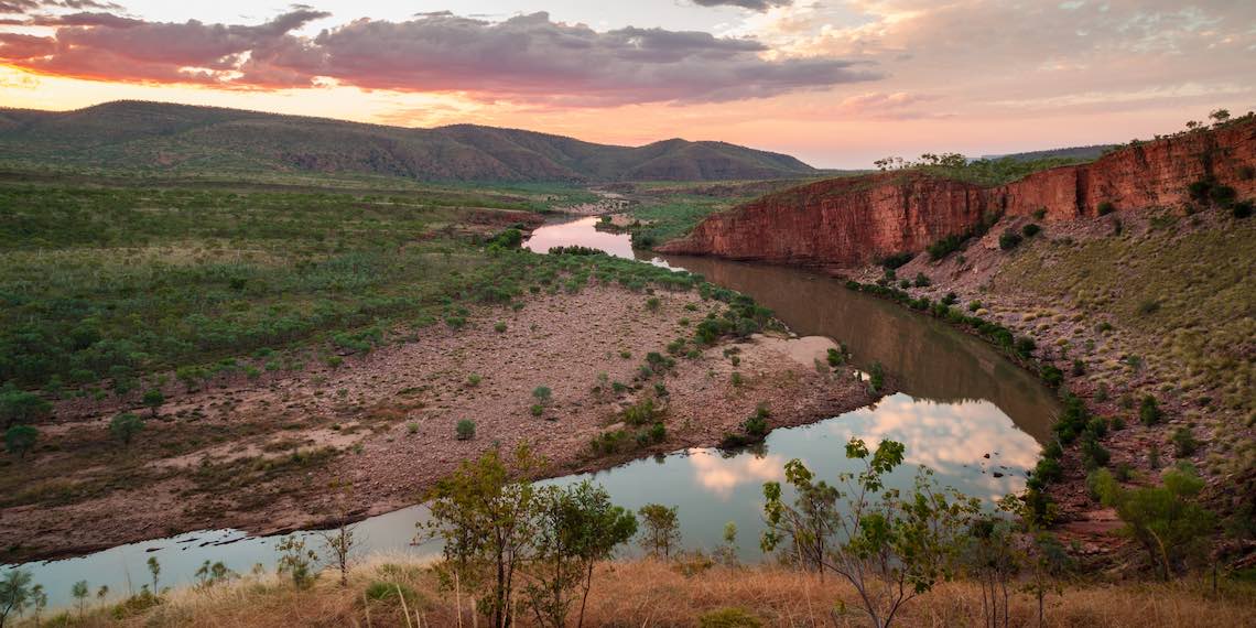
Groundwater is an important resource across northern Australia and, with vast distances to contend with, not a lot is known about water quality within aquifer systems. But one innovative research project is set to overcome resource limitations with the help of citizen scientists.
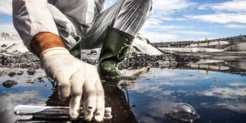
Receiving $450,000 over three years from the Ian Potter Foundation, the groundwater study plans to engage hundreds of citizen scientists to collect, analyse and record samples of water taken from bores across the Northern Territory, the Pilbara, and the Kimberley.
Charles Darwin University Research Institute for the Environment and Livelihoods Professor Jenny Davis said the study will be the largest freshwater citizen science project in the world in terms of both the number of people involved, but also the distance the study covers.
“In the past there has been a lot of effort put into finding out where groundwater is located because everyone who lives in semi-arid and arid areas of Australia need this resource for domestic water supply, farming and water provision in remote communities,” she said.
“There has been a lot of effort put into drilling bores to find groundwater and determine quality for drinking water. But that’s about the extent of our knowledge about these groundwater sources.
“Science has moved in leaps and bounds in recent decades, and we now have new tools available to us to help us with some of these old or enduring questions.”
By leaning into the willingness of citizen scientists to help collect samples, as well as new DNA testing methodologies, the study will provide important insights into groundwater quality right across the north, Davis said.
“I ran a citizen scientist project in central Australia where tourists and rangers collected waterhole water for testing and that was very successful,” she said.
“The remoteness and vastness of the tropical and arid regions of northern Australia means that community engagement is the only way that samples can be collected effectively across such a large spatial scale.
“The community’s concern about water overuse and pollution is rising. This is a project that will help to empower people to make decisions about water management and water use in the Northern Territory.”
What’s in the water?
With the aim of collecting water samples from more than 500 groundwater bores, the study will test for salinity levels and isotopes of oxygen and hydrogen in the water to determine its age, as well as for the presence of stygofauna and microplastics.
“It’s important to measure isotopes of hydrogen and oxygen, so that we can confirm the relative age of the groundwater. We are trying to find out if the aquifers are full with rain from the last wet season, if the water has been retained for longer, or if it’s really ancient water,” Davis said.
“This information makes a difference in terms of how we should be using the resource. If it’s recent water from a rain event, then we know it's renewable. If it's very ancient water, it probably won’t be recharged, depending on the location of the aquifer.”
By using a water preservative, researchers will also be able to extract DNA from samples to test for the presence of stygofauna within the groundwater system.
“Elsewhere in Australia, it's been found that there's a subterranean biota in the groundwater, particularly in the Pilbara,” Davis said.
“Previous bore sampling in the Beetaloo sub basin produced quite large shrimps. They were clearly subterranean animals, because they were blind and colourless. But we have limited understanding of the presence of this stygofauna in Northern Territory groundwater.
“These tiny little creatures are important because they are at the top of the subterranean aquatic food web and they provide an ecosystem service. They provide us with things that we value; in this case, it’s good quality groundwater.
“And if we start to interfere with these ecosystems, we are likely to change the quality of the groundwater, which is why we want to know if they are there.”
Mapping data
The public roll out will be in July 2023 and run for three years, and Davis said participants will be asked to collect samples every couple of months, if they visit the bore regularly, so that water quality can be tracked over time.
The citizen scientists will input data collected straight into an app designed and built specifically for the project, with the results from the sample testing reproduced on a map available to the public.
“We will be providing easy-to-use and simple field kits, so citizen scientists can collect samples for testing,” Davis said.
“We will be utilising QR codes on the vials, which participants will scan when they take the sample. The most important thing for us as scientists is the location. We need to have accurate GPS coordinates, and also the date.
“But if we can get those two details automatically from the app when people scan the labels on the vials, it means we are keeping track of the data in a very rigorous way and we won’t be wasting information.”
By posting all of the results that run through the lab on to a digital map on the study’s associated website, people will be able to see the data accumulate, Davis said.
“People's personal details will of course not be shared, but it’s important that we share the information about groundwater quality with the community,” she said.
“We wouldn’t want to run it in any other way, this is a two-way process. People are providing us with information that they need to have access to, so we need to present this information openly, while protecting people's privacy.”
Banking water
While there is a limit to what can be achieved with citizen scientist sampling, Davis said the data collected will give researchers more information than is available now, and will also indicate where more detailed research needs to occur.
“It may be that we don’t find any stygofauna or microplastics at some sites, but there may be other spots where the DNA is letting us know that something interesting is going on with the water. If we find hot spots, we will ask to come to the site to conduct a more detailed project,” she said.
“We will also be storing one of each of the set of samples collected to create a water bank. If something happens in the future and a water bore has become contaminated, another sample can be sent to us and we can check to see if there is any difference.
“This is a way of helping the community to keep an eye on their groundwater into the future. And I think it helps give people more confidence that their water is being looked after.”
The research team will first be conducting a pilot project and developing the app in collaboration with app and website developers Inspired NT and the Northern WA and Northern Territory Innovation Hub, before rolling it out across Northern Territory and northern Western Australia.