New AquaWatch test site launched to help protect the Great Barrier Reef
Sediment run-off from pastoral land negatively affects the health of marine ecosystems on the Great Barrier Reef, but a new pilot under CSIRO’s AquaWatch Australia Mission has been established in a bid to help curb impacts.
CSIRO’s AquaWatch Australia Mission is establishing an integrated ground-to-space water quality monitoring system using a combination of sensors and satellite data to support water management around Australia, with the reef one of seven test sites.
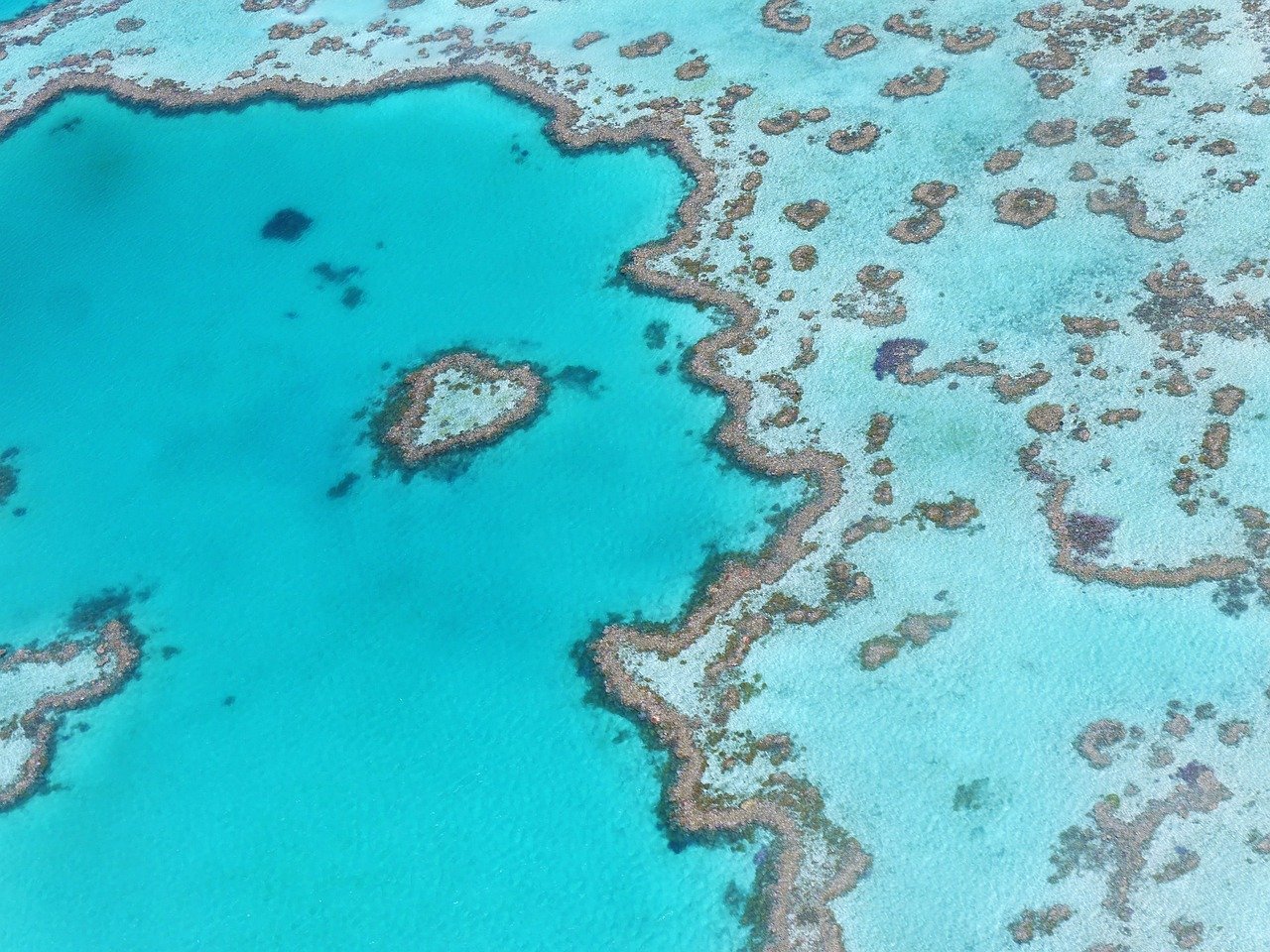
CSIRO has now installed specialised HydraSpectra sensors on Darumbal Sea Country in the southern Great Barrier Reef to help monitor and forecast sediment run-off from the Fitzroy River out into Keppel Bay, which impacts the UNESCO World Heritage site’s marine ecosystem.
Other established test sites include Lake Tuggeranong in Canberra, which is monitoring toxic blue-green algae blooms, and the Kuching Wetlands National Park in Malaysia, which is monitoring dissolved carbon in the mangrove forests.
CSIRO AquaWatch Mission Lead Dr Alex Held said the Great Barrier Reef project has the potential to support planning decisions in protecting areas of the reef, which brings in $5.2 billion annually and generates more than 64,000 full-time jobs.
"We are testing our systems for monitoring the flow of sediment and dissolved organic carbon – an indicator of the carbon exchange between land and ocean – from the Fitzroy River out into Keppel Bay towards the southern region of the reef,” he said.
“Too much sediment can be a problem for coastal areas surrounding the river outlet because it blocks sunlight from reaching the seafloor, restricting the growth of marine plant life like seagrass.
“This then impacts the food availability for biodiversity in the area, including the reef’s colourful array of marine wildlife.”
Held said dissolved organic carbon blocks light that phytoplankton need for photosynthesis, a process that removes carbon dioxide from the atmosphere much like plants do.
"We will also be able to identify higher levels of chlorophyll in the water, which can be indicative of a potential harmful algal bloom,” he said.
"Harmful algal blooms can be devastating for marine ecosystems when they produce toxins that can cause health problems and even kill fish."
Ground to space
CSIRO Senior Scientist Dr Nagur Cherukuru said the AquaWatch system combines three main areas of technology.
“We use water sensors in and on the water for highly accurate and regular data, but these can only provide information on a small area,” he said.
“CSIRO’s state-of-the-art HydraSpectra sensor is the primary sensor used for AquaWatch, among some others. This sensor sits a short distance above the water and the data it collects aligns well with what we can detect from space.”
"Satellite imagery is used to provide far greater geographical coverage than what is possible with water-based sensors," Cherukuru said.
“This is what enables AquaWatch to become a national scale water quality service. The satellite data can be validated with the water sensor data to improve accuracy,” he said.
“Finally, these data streams are integrated in our data system, where near-real time updates are processed. But the really exciting thing is that the system can apply data models and artificial intelligence (AI) to generate water quality forecasts for early warning.”
AI insights
Cherukuru said modelling and AI would be applied to the combined sensor and satellite data set to predict the sediment flows – ultimately identifying certain areas of the river where interventions can be made.
“The modelling and AI will integrate not only the AquaWatch sensor data, but other factors like ocean currents, wind speed, wind direction and tidal conditions to improve the accuracy of forecasts from AquaWatch,” he said.
“Much like having a weather report for guidance, the information can be used by water managers to inform marine and land planning decisions both during normal environmental patterns and in flood situations, when large volumes of sediment can be washed out to sea.”
Near-real time monitoring enables water and land managers to identify problem areas along the river and make changes, Cherukuru said.
“For example, reinforcing riverbanks in certain areas. AquaWatch can also measure the success of such changes and inform future decisions,” he said.
“Forecasts of water quality changes provide early warning, giving water managers a few days to decide how to respond to issues and prepare.
“Depending on the incoming issue, damage could even be mitigated for marine ecosystems, people and aquaculture.”
While test data will only be available to research partners and Traditional Custodians initially, the long-term goal for AquaWatch is to provide national water quality monitoring and forecasts to all Australians via an app or integration into current weather reporting.