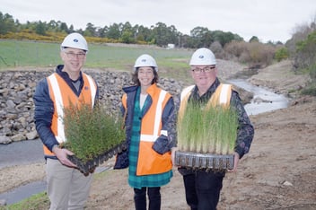
Floodplain research set to bolster water quality remediation efforts across NSW
As water quality issues continue to cause environmental, social and economic impacts along the New South Wales coastline, one recent research project has completed a comprehensive prioritisation report to help floodplain and estuary managers target mitigation efforts.
UNSW Sydney’s Water Research Laboratory has finalised the results of the NSW Coastal Floodplain Prioritisation Study, which was funded by the NSW Government under the Marine Estate Management Strategy.
The final reports and data provide floodplain and estuary managers with comprehensive insight into the direct causes of poor water quality in each site studied, as well as an assessment of coastal floodplains’ vulnerability to sea level rise.
Focus on the Tweed, Richmond, Clarence, Macleay, Hastings, Manning and Shoalhaven estuaries, Water Research Laboratory Principal Engineer Alice Harrison said the project was about enabling effective mitigation of water quality issues facing these water bodies.
“Many areas on our coastal floodplains were once freshwater or brackish back swamps that didn't drain very quickly. But they have been heavily developed since European settlement. A lot of drainage has been established to facilitate dry-land agriculture on what is very fertile land,” she said.
“There have been some unintended consequences of those augmentations to the floodplains. Draining the land has had some big impacts on water quality in the rivers and estuaries.
“When some of those soils get drained, they are exposed to oxygen and release a large amount of sulfuric acid, which ends up in the estuaries after rain. The lowest pH I've seen in the field study samples was 2.1 – that’s the equivalent of lemon juice.
“The other big water quality issue we’ve been looking at is deoxygenation, or what we call blackwater. When flat, dry-land agriculture is inundated with flood or rain, the water can sit there for a long time. The vegetation decomposes and, when the water is released into the estuary, we get big blackwater events, which can cause huge fish kills.”
Water Research Laboratory Principal Engineer Toby Tucker said the knock-on effects of these water quality issues can be severe and far reaching.
“When we see big fish kills, it’s not just the fish that are dying. It also impacts the habitat that the fish are living within. It’s impacting the environment, the biodiversity of the area, and it’s reducing the ecosystem services those waterways are providing,” he said.
“One black water event shut down the entire fishing industry in the Richmond for 6 months, so there are significant economic impacts, as well. But it also impacts the amenity these waterways provide to the community – the water turns jet black, it smells, it’s not pleasant to be around.”
With these water quality issues impacting rivers and estuaries across the coastline of NSW, Harrison said it’s time to start tackling the problem.
“We can't do everything all at once and that's where the prioritisation comes through. We have taken a look at where these issues are the worst. There is a lot to gain from prioritising these areas so that we can target our investments and efforts,” she said.
Aims of study
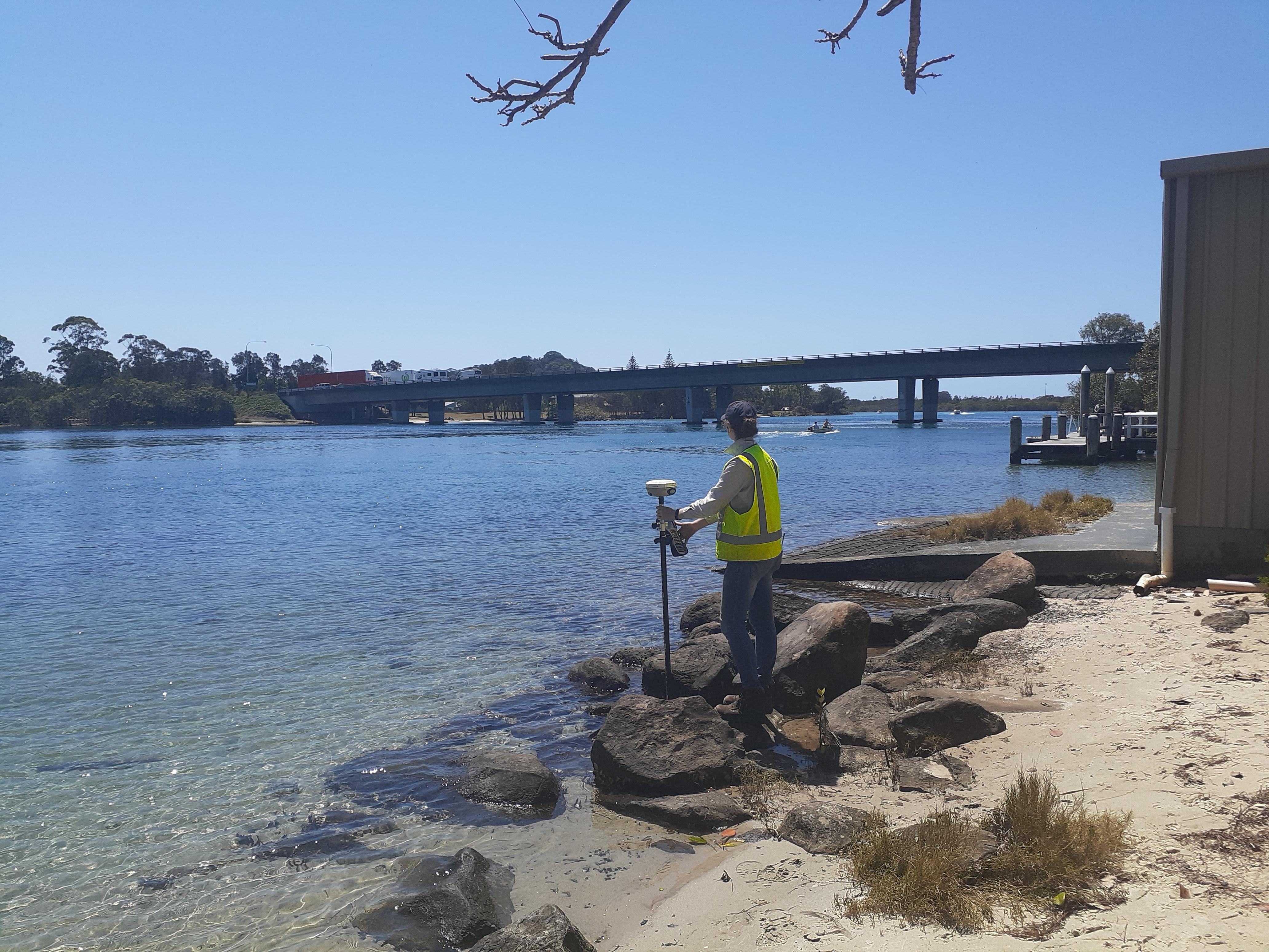
UNSW’s Water Research Laboratory team developed a program including field data collection, numerical modelling and desktop assessments to complete the study, with more than 20 weeks spent collecting acid sulfate soil data, measuring hydraulic conductivity, collating information on floodgate infrastructure, as well as farm drains and creeks.
One of the key aims of the project was to collect all the information needed on the seven different estuaries and house it all in one place, Harrison said.
“These estuaries have all been studied in part before. The idea was to collect all the information needed to start being able to take action. There was still a considerable amount of information that was missing, so it was about creating a more comprehensive picture,” she said.
“We're hoping this means the next thing that happens isn't another study. A big takeaway from the study is that it is actually time to stop studying the problems and start dealing with them.”
“All of the estuaries are really unique, but we followed the same process with all of them. The prioritisation we have developed is actually specific to each estuary, which is also how they tend to get managed, too.”
Another important part of the study was to assess the potential impact of sea level rise on the health of the estuaries, Tucker said.
“One of the issues we found as we started getting into the management side of things is sea level rise. The focus is often on tidal inundation or the overtopping of levies. But, when looking at these particular sites, we found that it's not just the high tide that matters, it's the low tide.
“If there is an increase in the low tide level, some of these floodplains aren't going to be able to drain. And so we started linking up that type of data, too.
“So we built numerical models for each of the estuaries, looking at where sea level rise is going to impact the drainage capacity of the floodplains and where they won't be able to drain in the future. This information will be very useful in future.”
Results of study
In most of the floodplains studied in the project, more than 60% of the water quality risks are associated with two to three of the subcatchments, which means that focused efforts could have the potential to deliver big benefits, Tucker said.
“One of the coolest things that came out of the study is that, for each of the different estuaries we looked at, there were one or two subcatchments that contained most of the problems. So if we focus our efforts in those places, we’ll be able to remediate a majority of the negative impacts,” he said.
“It highlights the importance of targeting our efforts, rather than attempting a piecemeal approach across an entire catchment. We can focus on a few areas and generate substantial benefits for water quality.”
Harrison said another great outcome from the study is the insight into areas of concern that cross over with the expected incoming impacts of climate change.
“We actually found these really nice synergies between where the biggest problems for water quality are located and where we are going to have the biggest problems with managing climate change,” she said.
“For example, areas that are likely to become negatively impacted by reduced drainage due to the rising low tide levels, also tend to be the areas that are contributing the most to poor water quality.
“We now know that we have an opportunity to manage the climate change risk at the same time that we're managing the water quality risk. It's a very helpful insight as it will allow us to do two things at once. It means we won’t be fighting two issues in opposite directions.”
Floodplain and estuary managers will now be equipped with data-driven insights into the most effective pathways for managing water quality issues in these locations, Harrison said.
“We worked with floodplain managers across a couple of the sites. And these managers know all about the problems facing these water bodies. We are not telling them something they don't already know,” she said.
“But the results of this study gives them data-backed evidence and empowers them to get moving on implementing solutions.
“It’s a call to action, really. I think that’s the most important part of this. The detailed data is great, and the floodplain managers will use it, but it's the drive for action that’s most important. All the information is now documented, it’s time to get moving.”